Lake Gairdner - South Australia
- Where is Lake Gairdner
- How to get to Lake Gairdner
- Salt Report
- Road Conditions
- Some Rules to Remember
- Picture Gallery
- Outback Travelling Tips
Where is Lake Gairdner
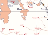
Site of the DLRA Speed Trials, Lake Gairdner is located in the State of South Australia. Largest of a group of shallow depressions west of Lake Torrens in central South Australia, 240 mi (550 kilometres) northwest of Adelaide, the State capital. It measures 100 mi (160 km) long by 30 mi wide. Lying at the base of the Eyre Peninsula, the lake is a dry salt pan (playa) intermittently filled with water. Visited in 1857 almost simultaneously by Stephen Hack and Peter E. Warburton, it is named after Gordon Gairdner, former chief clerk in the Australian Department of the Colonial Office, London.
Lake Gairdner is a National Park managed by the South Australian Department of Environment and Water and is subject all National Park rules and regulations. No dogs are allowed in any National Park.
The Lake is a public place and is also subject to South Australian Road Rules and Regulations. All motorized vehicles must be registered, drivers and riders licensed. Motorcyclists must wear a helmet.
Facts and Figures
- Lake Gairdner is the fourth largest salt lake in Australia
- The salt covering the Lake can be 1.2 metres deep in some places
- The region is the home country of the Kokatha people
How to get to Lake Gairdner
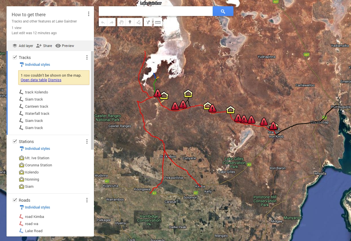
It is a very remote location, the nearest town of Iron Knob being some 121 kilometers (75 miles) from the turn off to the Mt. Ive Station.
Traveling time from the Victorian capital city of Melbourne is about 21 hours and Sydney, New South Wales about 20 hours.
It is about a 6 hour trip from Adelaide to Port Augusta. Most crews stay at the Big 4 Caravan Park at Pt. Augusta on the Friday night before heading out to the Lake on the Saturday.
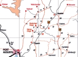
From Port Augusta to Iron Knob on Highway 1 is all good grade bitumen, this takes about an hour and is 68 k's. There is no food, beer or fuel at Iron Knob.
Fuel and supplies are available at Mt. Ive, but no LPG and at slightly dearer prices.
Turn right on the dirt road just after Iron Knob turn off, you then travel 121 km to Mt. Ive Station turn off, or keep going another 8 km, past 1 cattle grid, then you come to a creek sign, turn right just before the second cattle grid. It is then 21 km past the 2 gates (Shut the gate, mate) a water well, then salt.
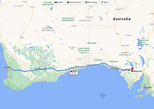
From Perth, Western Australia
Coming from W.A. there's two options leaving Perth Great Eastern Highway to Coolgardie/Norseman, or if your South you can go via Brookton, Hyden/Norsman this will knock a couple of hours of the trip BUT its 300km of gravel, check with Hyden Shire 08 9889 1006 on road conditions and best not to use if wet.
Ceduna is your last real place to stock up on supplies Coles is open 24 hours.
From Ceduna there's a few options as you can go via Wirrula 70 km to the Hiltaba intersection and turn right, Minnipa to Yardea 77km and turn right follow this road to a T intersection and old Homestead turn right, then it approx 16 to 20 km to the road into the lake, you will pass an old wagon on you right,then it about 8km to the lake road keep an eye out for it on your left just after you cross a small bridge, its hard to see as its on a right hand corner, follow road into the Lake.
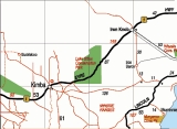
You can also come in from Kimba up the Buckleboo rd this is a lot more highway but better if your towing a big trailer.
There is limiter fuel/supplies at these smaller towns and most have accommodation.
From Brisbane, Queensland
From Queensland to Speed Week, this is the shortest route and not to many big hills which makes it an easier run if you are towing, trucks running from WA and SA to QLD use this route, the road is not that busy and passing is easy.
Fuel is available at most of the towns but out in far western NSW there are not many that are open 24hrs, we would recommend that travelers carry some spare fuel just in case.
Start –
- Brisbane to Goondiwindi via Toowoomba or Warwick. Have to cross the Great Dividing Range either way. 324 klm
- Goondiwindi to Moree both have 24hrs fuel 127 klm
- Moree to Walgett via the Gwydir Hwy 210 klm
- Walgett to Brewarrina via the Gwydir Hwy 231 Klm Brewarrina Sports Club great food.
- Brewarrina to Bourke via the Gwydir Hwy 97 Klm Good Caravan Park at North Bourke free cooking and great amenities, cabins available
- Bourke to Cobar via the Kidman Way 159 Klm. 24 hr Fuel and Food
- Bourke to Broken Hill via the Barrier Hwy 456 Klm Fuel and Food at Emmdale, Wilcannia and Little Topar, Good Caravan park at Broken Hill
- Broken Hill to Peterborough via the Barrier Hwy 284 Klm Fruit Fly Check point at Oodla Wirra, no fruit and vegtables past this point.
- Peterborough to Port Augusta 160 Klm via Orroroo, Wilmington, Winninowie and Stirling North, exercise caution thru “Horricks Pass” steep and narrow decent.
- Good Caravan Park last good place to shop for supplies.
- Port Augusta to Iron Knob 68 Klm
- Iron Knob to Lake Gairdner 160 Klm Dirt Road with built up grids exercise caution when crossing, drive to the road conditions.
Total Distance 2066 Klm
Drive Safely.
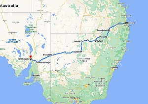
From Brisbane to Lake Gairdner
From Sydney
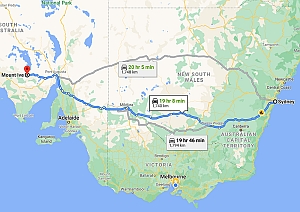
You have two routes to choose from, the northern route via the A32 and includes tolls, which takes 20hrs and 11 minutes (1741 km) or via the Sturt Hwy/A20 which takes 19 hr 26 min (1,740.9 km).
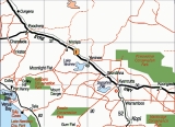
Northern Route: Mudgee, Dubbo, Nygan, Cobar, Wilcannia, Broken Hill, Yunta, Peterborough, Port Augusta, Iron Knob, Lake Gairdner.
Southern Route: Goulburn, Wagga Wagga, Narandarra, Mildura, Renmark, Port Pirie, Port Augusta, Iron Knob, Lake Gairdner.
From Melbourne
You have two routes to choose from, the northern route via Calder Highway/A79 and includes tolls and takes 14 hrs and 23 minutes (1,268) or the Southern route via National Highway A1 and takes 14 hrs and 17 minutes (1227 km)
Northern Route: Bendigo, Wycheproof, Mildura, Renmark, Port Pirie, Port Augusta, Iron Knob, Lake Gairdner.
Southern Route: Ballarat, Horsham, Bordertown, Murray Bridge, Adelaide, Port Pirie, Port Augusta, Iron Knob, Lake Gairdner.
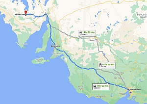
From Melbourne to Lake Gairdner
The Road in from Iron Knob
Final Stretch
When it gets wet
Links to help you plan your trip.
SOUTH AUSTRALIA: STATE MAP - includes strip maps.
Melbourne
Sydney to Adelaide
The Map Shop
Australia Travel
Radar images from the Bureau of Meteorology
Salt Report
PLEASE CHECK BEFORE LEAVING TO MAKE SURE THE EVENT IS ON !
DLRA Phone Information Line (Recorded Message) - 0490488100
or check the forum or Facebook page
Road Conditions
Please take it easy over cattle grids and beware of oncoming vehicles and wandering wildlife and stock. Dust is a major problem, so seal up your clothes, food, race car air intake and pack an extra spare wheel.
Northern and Western South Australian Outback Roads
Follow this link for current DIT Outback Road Warnings in an interactive map.
Some Rules to Remember
- All vehicles and pit areas on the salt surface, must have full length quality tarps beneath them, to protect the lakes surface.
- Be sure to take strong garbage bags for litter and sealable drums for oil reside/waste. Don't place any liquids in your general waste (paper, plastic etc.) so keep it sealed and take it all home.
- No glass to be taken on to the property near the lake. Any person wishing to cook a BBQ on the lake must have a protective tarp under the BBQ area.
- SHUT THE GATE, at all times.
- NO dogs are permitted. Lake Gairdner is a National Park.
Members and Spectators Please Note
The care of the lake and its environment is your concern, basically it's a case of you bring something in, you have to take it out. Without leaving a trace of our presence. By this action we will continue to be able to race in the future.
Authorities which have control over the Lake;
Department of Environment and Water
Arid Areas Catchment Water Board
Picture Gallery
-
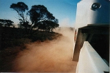 On the last leg in.
 -
-
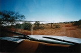 First sight of the salt.
 -
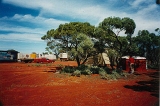 Generator Shed, Ablutions Block behind tree.
 -
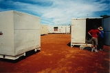 Storeroom and Sleepers
 -
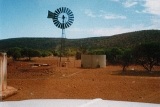
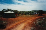 Water Tank gravity feeding to camp.
 -
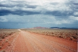 This is the road for the last two hours in.
 -
 First sight of the salt.
 -
 Entry to the lake, pits in the background.
 -
 Is there anywhere more beautiful in the world.
Outback Traveling Tips
- Care should be taken when venturing off the beaten track in the outback, especially when conditions are extreme. Always carry enough fuel, water and provisions for several days - be prepared to look after yourself. Distances between towns are often large - check carefully a good map before leaving.
- On unsealed roads, corrugations may make the going uncomfortable if not dangerous and sometimes an even speed is the best way to obtain reasonable comfort and minimize danger.
- Water can damage roads quickly. If you encounter rain, it's best to wait until the next day or until the road is dry before going on. If you come across water covering the road, drive carefully and gauge the depth with a stick before you proceed. Extreme care should be taken at river or creek crossings.
- Dust can also be a hazard and it's best to pull off the road when you encounter excessive dust from a passing vehicle.
- Watch out for stock and native animals crossing the road, even on sealed roads, especially between sunset and sunrise. Birds of prey feeding on carcasses at dawn have been the cause of many accidents. At all times it pays to match your speed to the conditions, and err on the side of caution.
- Avoid the Strzelecki and Birdsville Tracks during the summer as conditions are likely to be at their worst - temperatures will be high, road conditions at their worst and water in poor supply.
- Travelers should be aware of the extreme heat and isolated nature of traveling on outback roads. Please take special note of the following recommendations and check the Hot-line number for road conditions before commencing your journey. Northern Area Road Condition hot-line (08) 811633
When you travel into the outback, you're in one of Australia's most sensitive environments. Here are some basic do's and don'ts -
- Notify a friend or relative of your travel arrangements. Advise dates, times and the intended route. Contact the relevant party upon arrival .
- Don't use soap or detergents except in areas where toilets and showers are provided - otherwise they pollute.
- Protect water supplies and do not interfere with stock watering points. Water is more valuable than property.
- Do not leave the main road. In case of accident or breakdown, stay with your vehicle.
- Respect gates, private roads and private property. Always close a gate you pass through.
- When traveling in national or conservation parks, consult the ranger before setting off both to find out the best locations and to determine the local conditions. Carry your own power source and strictly observe fire regulations.
- Do not tamper with road or Property signage.
- Travelers who may wish to camp in a national or conservation park or regional reserve will require a Desert Parks Pass or an overnight Camping permit. Telephone (08) 8204 1910
- Leave the area as you found it - take your rubbish with you. Don't interfere with or frighten stock. Don't bring pets, as these are banned in most areas.
- Respect Aboriginal land and culture. Don't touch paintings or carvings, relics, sites or historical monuments or buildings.
- It is highly recommended that you install an H.F radio transmitter in your vehicle before attempting outback travel.
- Take extreme care when wandering around opal diggings.
 Accommodation in Kimba
For those people coming from the West of Australia the DLRA recommends the Kimba Gateway Hotel, 40 High Street Kimba, Postal: PO Box 42, Kimba SA 5641, Phone: (08) 8627 2888 Fax: (08) 8627 2310, Web: www.kimbahotel.com.au
They are also very happy to offer discounts for groups or singles for accommodation – you just need to mention that they are with the Dry Lakes group.
Kimba is just 120 kilometres, but about 4 hours drive to the lake.
Kimba Recreation Reserve Campground
DISCOVERY PARK - PORT AUGUSTA
TransportationKirkhope Aviation Pty Ltd |
Learn More
- Lake Gairdner
- How to get to Lake Gairdner
- Maps of Lake Gairdner
- Rainfall at Lake Gairdner
- Aerial photos from 2006 of a flooded Lake Gairdner
- Frequently Asked Questions
- Reference Material
Support the DLRA
- Promote your business by advertizing in the DLRA Newsletter
- Sponsors Information
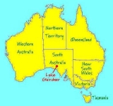
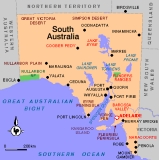
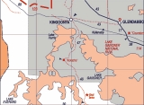
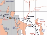
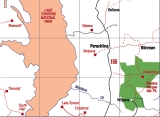
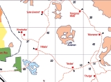
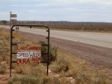 There is usually a small DLRA sign at the turn off from Friday
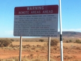 Warning Remote Areas Ahead
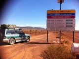 Road Restrictions
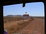 See the car in front by the dust
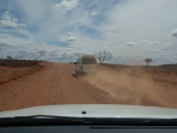 Typical stretch of road
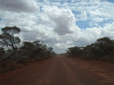 Typical stretch of road
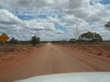 Beware of Washouts
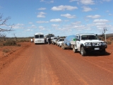

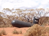 You're nearly there!
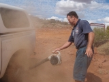 All vehicles must dust-off before entering the salt
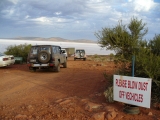 All vehicles must dust-off before entering the salt
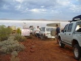 Vehicles waiting to enter the lake
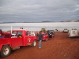 Vehicles waiting to enter the lake
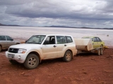 All vehicles leaving the lake must de-salt their vehicle on the salt. Red and white don't mix!
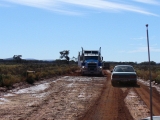 If you're not careful you can be a long time bogged
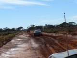 Follow someone else's tyre tracks
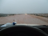 Because of the way they are graded the roads turn into rivers
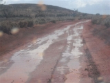 Look for standing water, it's usually hard underneath. That soft stuff on the side will suck you in ever time.